|
Internet Medieval Sourcebook
Maps and Images
Guide to Contents
The section of the Sourcebook is devoted to copy-permitted maps and images.
These images can be used in teaching, and in web page creation. The source of images is
indicated for each image.
- Main Page will take you back to
Sourcebook main page.
- Full Texts will take you to the
index of full text medieval sources.
- Saints' Lives will take you to the page
on hagiography.
- New Accessions Page will take you back
to a file of Sourcebook contents organized by date of addition (so you can see what is
new).
- Search the Sourcebook will enable
searches of the full texts of all the source texts at Fordham, at ORB, or selected
ancient, late antique, and medieval text databases.
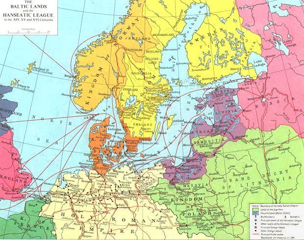
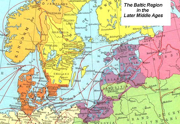
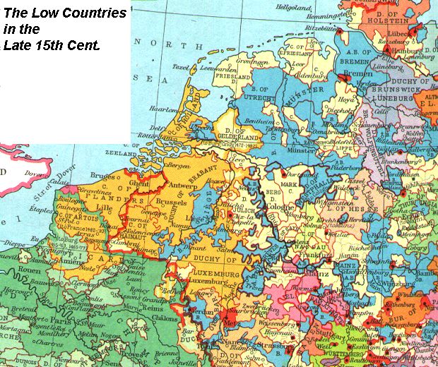
Medieval Maps
If the map you want is not here, try:
General
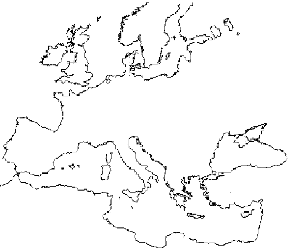
- Europe: Outline Map(BW)
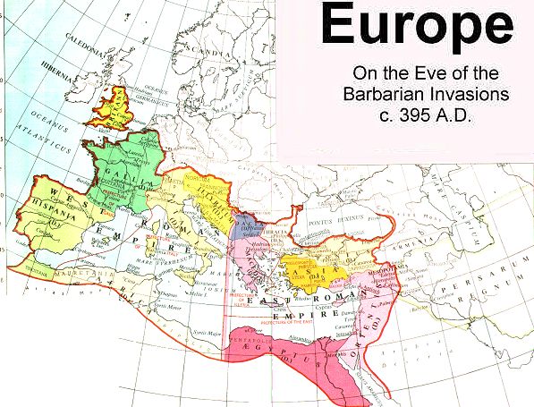
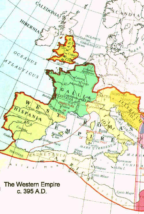
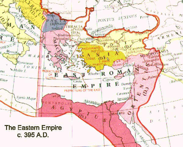
- Europe on the Eve of the Barbarian Invasions, 395 (Col)
Adapted from Muir's Historical Atlas: Medieval and Modern, (London: 1911)
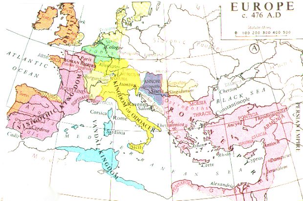
- Europe, 476, (Col)
Adapted from Muir's Historical Atlas: (1911)
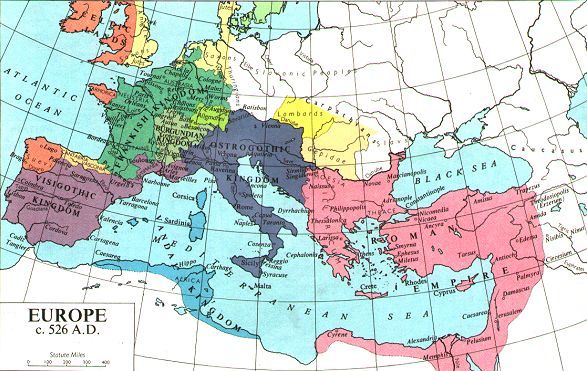
- Europe, 526, (Col)
Adapted from Muir's Historical Atlas: (1911)
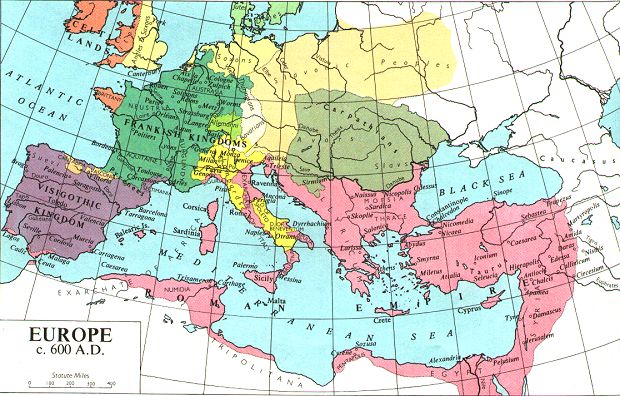
- Europe, 600, (Col)
Adapted from Muir's Historical Atlas: (1911)
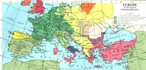
- Europe, 800, (Col)
Adapted from Muir's Historical Atlas: (1911)
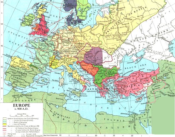
- Europe, 900, (Col)
Adapted from Muir's Historical Atlas: (1911)
- Europe, 1099(Col)
Adapted from Muir's Historical Atlas: (1911)
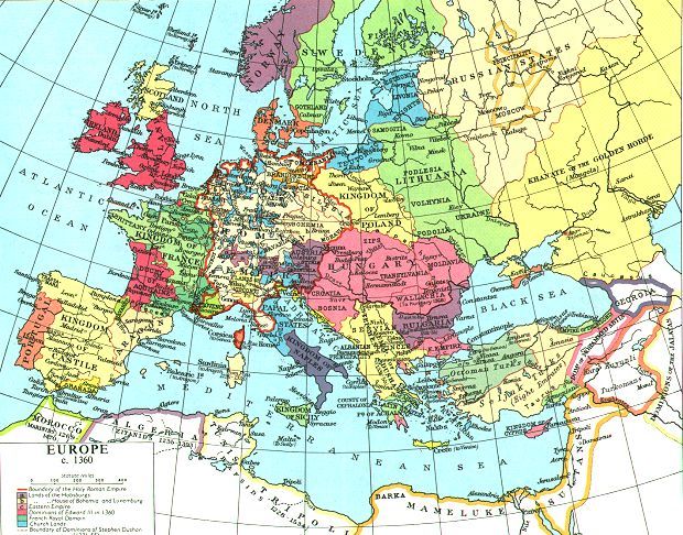
- Europe, 1360, (Col)
Adapted from Muir's Historical Atlas: (1911)
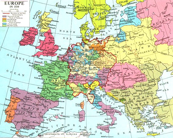
- Europe, 1519, (Col)
Adapted from Muir's Historical Atlas: (1911)
Rome
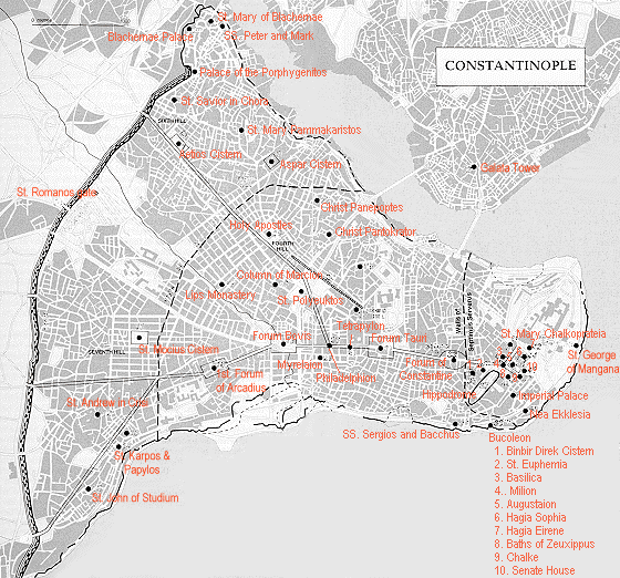
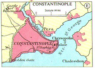
Byzantium
Islam
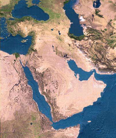
- Satellite Map of the Middle
East (source unknown) [At Medieval Sourcebook]
-
The Middle East in the Sixth Century,
from R. Roolvink et al., Historical Atlas of the Muslim Peoples (Amsterdam, 1957) [Was At UPenn, now Internet Archive]
-
Muslim Expansion in the Time of Muhammad from R. Roolvink et al., Historical Atlas of the Muslim Peoples (Amsterdam, 1957) [Was At UPenn, now Internet Archive]
- Map of Muslim Expansion until A.D. 661, from W.C. Brice. An Historical Atlas of Islam (Leiden, 1981) [Was At UPenn, now Internet Archive]
- The Growth of Muslim Power:
First 25 Years (BW) [At Medieval Sourcebook] Source: H.G. Wells, A Short
History of the World, (London: 1922)
- Muslim Expansion in the West in the Umayyad Period (661-750), from W.C. Brice. An Historical Atlas of Islam (Leiden, 1981) [Was At UPenn, now Internet Archive]
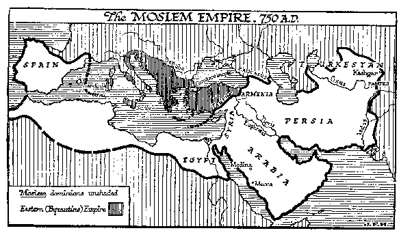
- The Muslim Empire: 750 CE (BW) Source: H.G. Wells, A Short History of the World, (London: 1922) [At
Medieval Sourcebook]
-
The Abbasid Caliphate (786-809)
from R. Roolvink et al., Historical Atlas of the Muslim Peoples (Amsterdam, 1957)
[Was At UPenn, now Internet Archive]
-
The Mediterranean in the Ninth Century from R. Roolvink et al., Historical Atlas of the Muslim Peoples (Amsterdam, 1957) [Was At UPenn, now Internet Archive]
- The Late Abbasid Caliphate c .900 CE,
from W.C. Brice. An Historical Atlas of Islam [Was At UPenn, now Internet Archive]
- The Muslim World c. 1300CE,
from W.C. Brice. An Historical Atlas of Islam (Leiden, 1981) [Was At UPenn, now Internet Archive]
- The Muslim World c. 1500CE,
from W.C. Brice. An Historical Atlas of Islam (Leiden, 1981) [Was At UPenn, now Internet Archive]
- The Middle East in the Nineteenth Century, from W.C. Brice. An Historical Atlas of Islam (Leiden,
1981) [Was At UPenn, now Internet Archive]
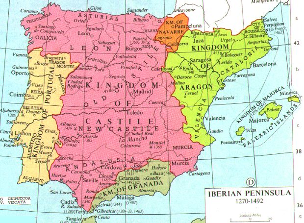
Spain
Persia
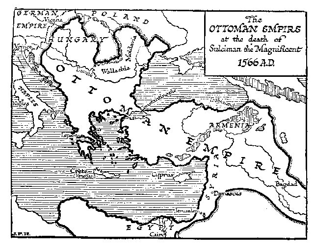
Turks: Seljuqs and Ottomans
India and Far East
Merovingians and Carolingians
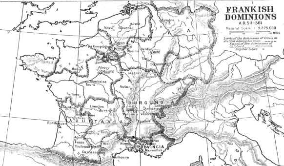
- Frankish Domains 511-561 (BW)
Source: Gregory of Tours, History of the Franks, trans. Ernest Brehaut,(New York:
Columbia University Press, 1916)
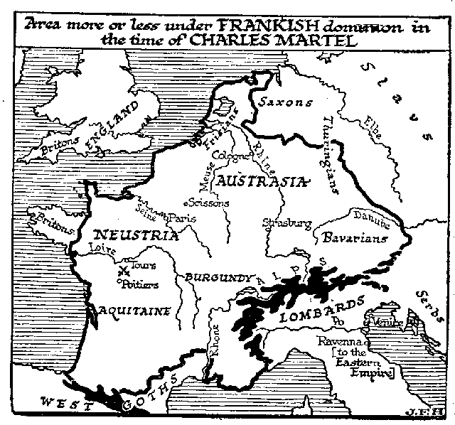
- Frankish Domains at Time of Charles Martel (BW)
Source: H.G. Wells, A Short History of the World, (London: 1922)
- Europe at Death of Charlemagne, 814 (BW)
Source: H.G. Wells, A Short History of the World, (London: 1922)
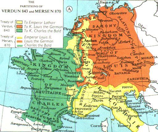
- The Division of the Carolingian Empire: Verdun 843 and
Mersen, 870 (Col)
Adapted from Muir's Historical Atlas: (1911)
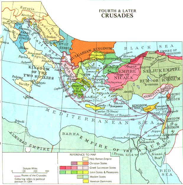
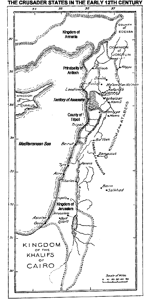
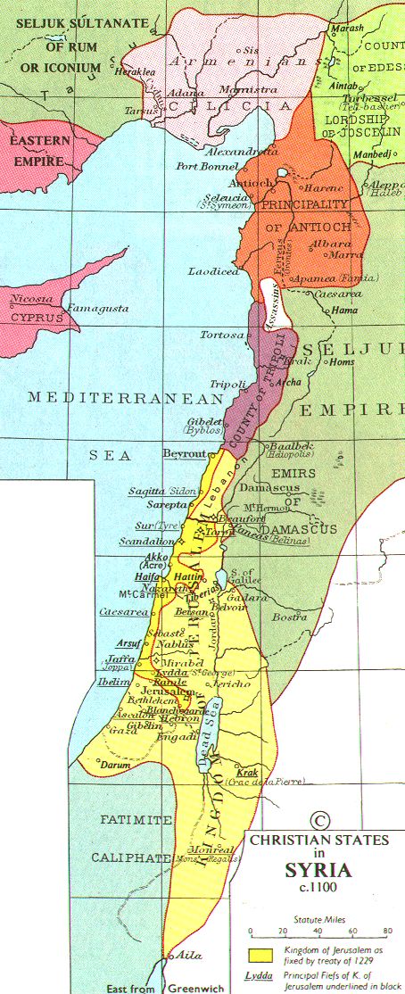
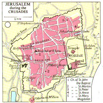
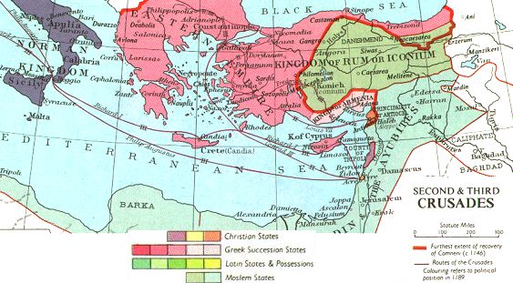
Crusades
Growth of European States
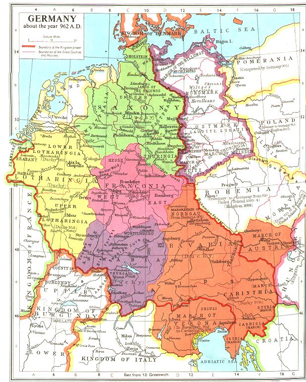
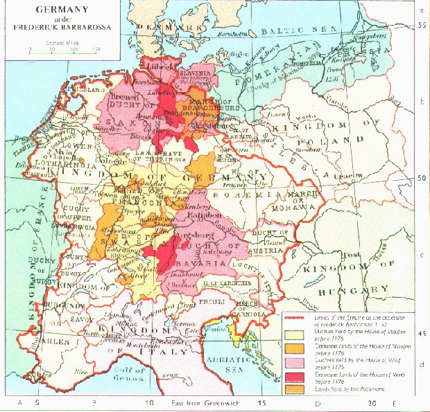
- GERMANY/HOLY ROMAN EMPIRE
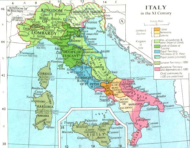
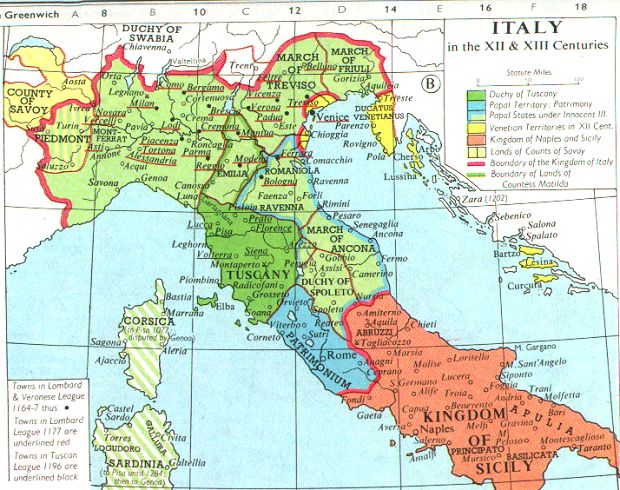
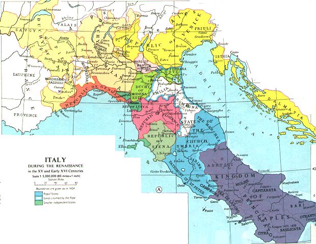
- ITALY
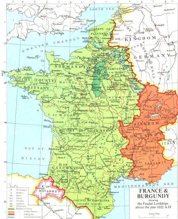
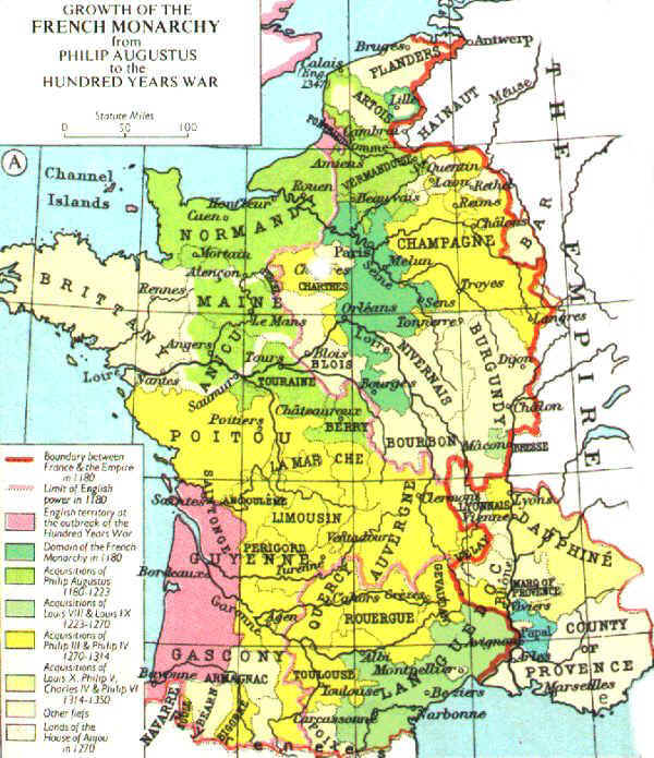
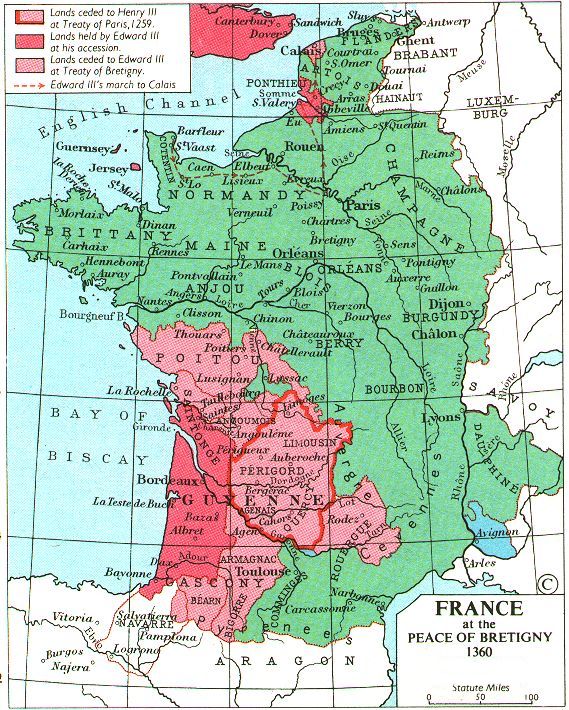
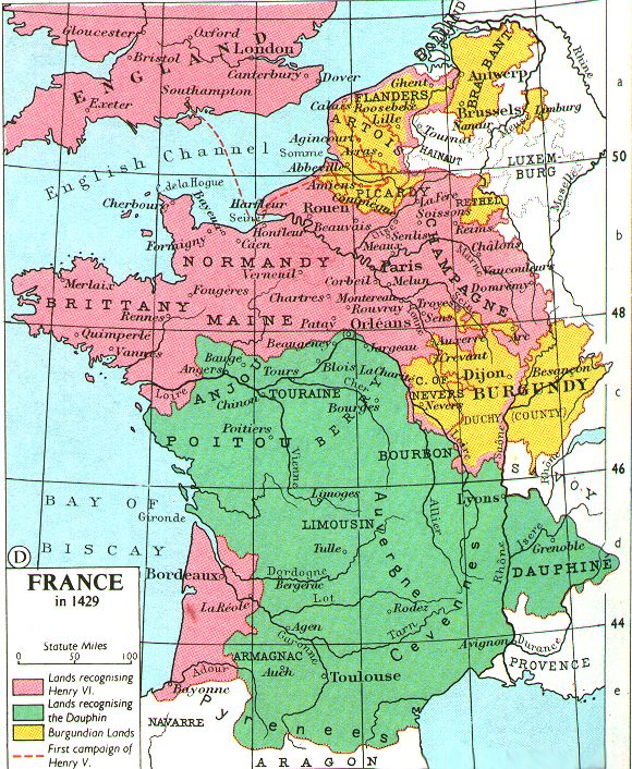
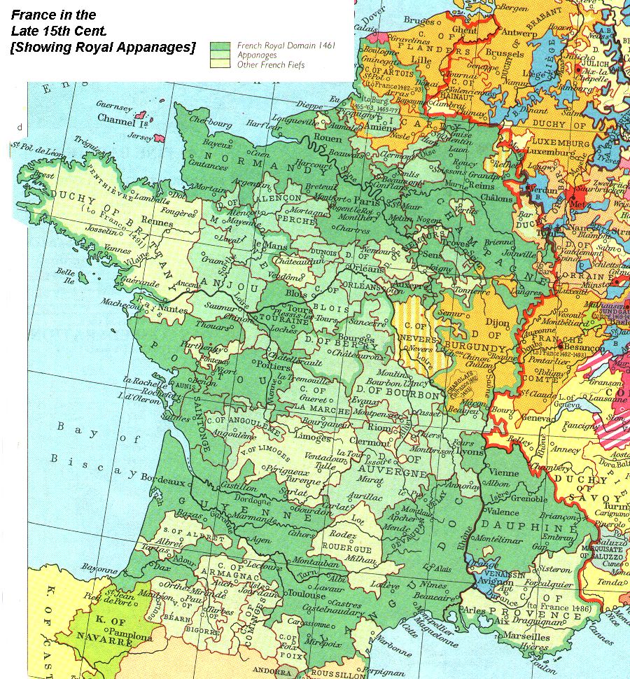
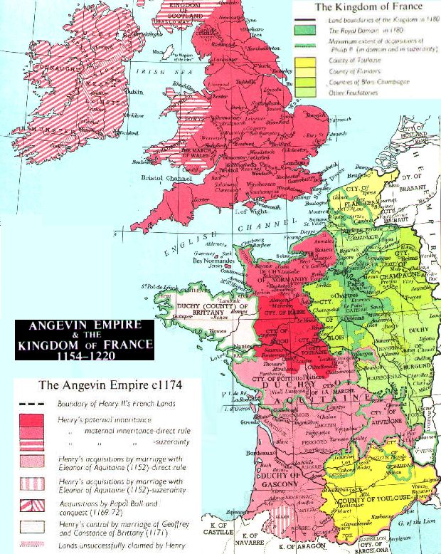
- FRANCE
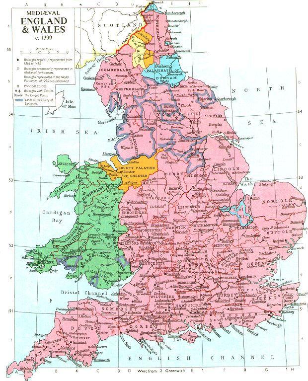
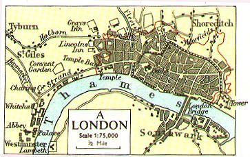
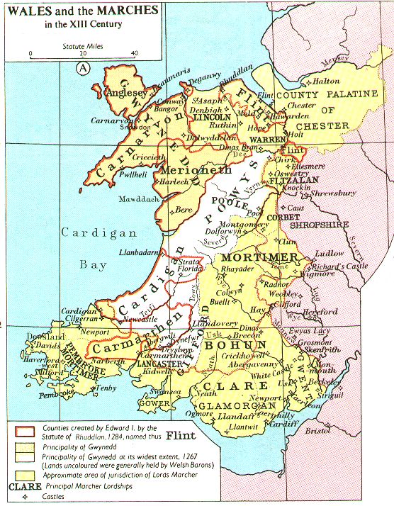
- ENGLAND/BRITISH ISLES
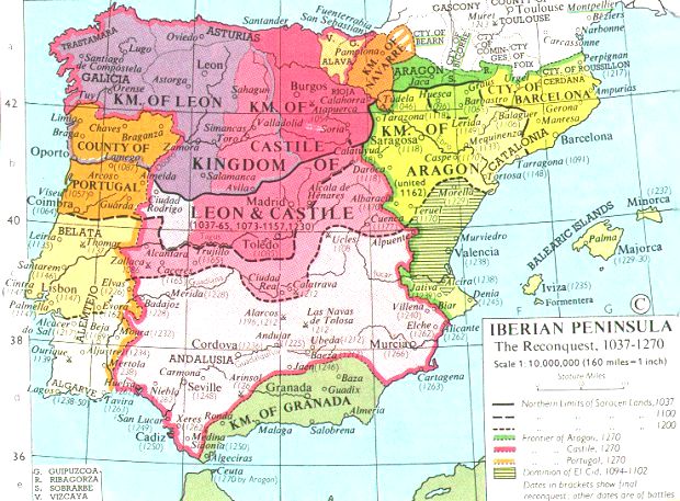
- SPAIN AND PORTUGAL
- OTHER STATES
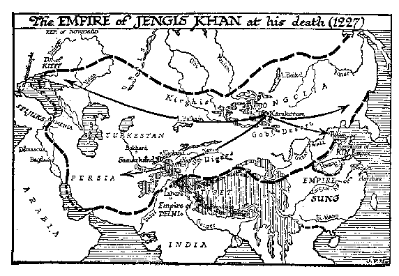
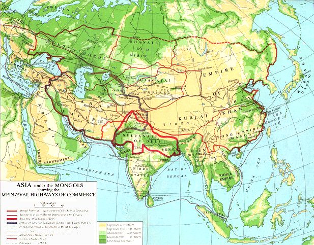
The Mongols
© This text is copyright. The specific electronic form, and any notes and questions
are copyright. Permission is granted to copy the text, and to print out copies for
personal and educational use. No permission is granted for commercial use.
If any copyright has been infringed, this was unintentional. The possibility of a site
such as this, as with other collections of electronic texts, depends on the large
availability of public domain material from texts translated before 1920. [In the US, all
texts issued before 1920 are now in the public domain. Texts published before 1964 may be
in the public domain if copyright was not renewed after 28 years. This site seeks to abide
by US copyright law: the copyright status of texts here outside the US may be different.]
Efforts have been made to ascertain the copyright status of all texts here, although,
occasionally, this has not been possible where older or non-US publishers seem to have
ceased existence. No representation is made about images and documents linked to
offsite. Some of the recently translated texts here are copyright to the translators
indicated in each document. These translators have in every case given permission for
non-commercial reproduction. This site is intended for educational use. Notification of
copyright infringement will result in the immediate removal of a text until its status is
resolved.
© Paul Halsall January 1998-October 2000 1998
The Internet Medieval Sourcebook is part of the Internet History Sourcebooks Project. The Internet History Sourcebooks Project is located at the History Department of Fordham University, New York. The Internet
Medieval Sourcebook, and other medieval components of the project, are located at
the Fordham University Center
for Medieval Studies.The IHSP recognizes the contribution of Fordham University, the
Fordham University History Department, and the Fordham Center for Medieval Studies in
providing web space and server support for the project. The IHSP is a project independent of Fordham University.
Although the IHSP seeks to follow all applicable copyright law, Fordham University is not
the institutional owner, and is not liable as the result of any legal action.
© Site Concept and Design: Paul Halsall created 26 Jan 1996: latest revision 8 Sept 2025 [CV]
|